First off we go to the southeastern parts of the map. As mentioned in earlier posts the map is a compressed miniature-version of Iron Age Sweden with geographical liberties taken to fit in certain key locations.
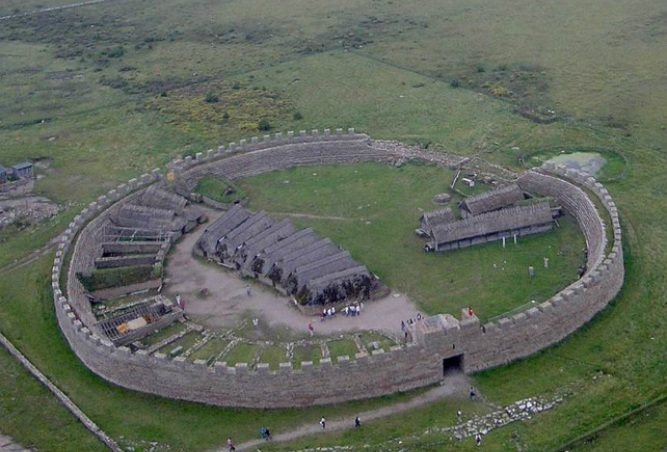
Strolling from Uppsala to Ismantorp is probably the most offensive geographical distortion that I will make in the Iron Age project as it is in reality 200+ km from Uppsala. In my defense I think it's worth including very interesting locations in one manageable open-world map because I don't want to juggle several maps and I don't want to omit these awesome ring forts… They're just too good to leave out.
My reasoning is that this distance can be covered by foot (and boat) in a few days and that is well within what I think is reachable territory. In the game world distances feel more expansive which gives me a bit more freedom to compress areas.
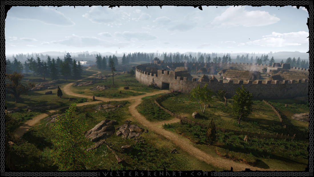
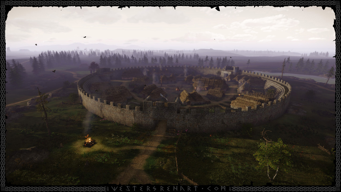
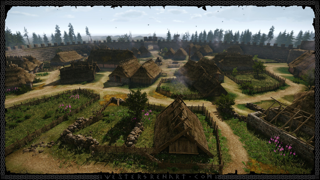
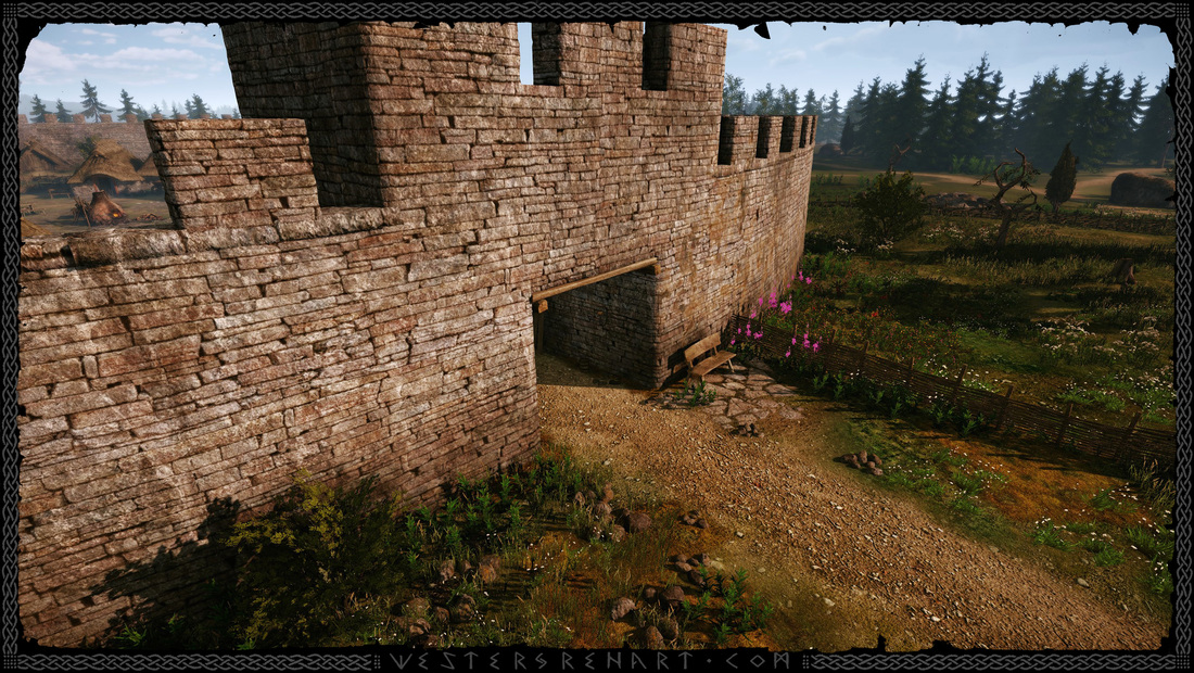
These fortified walls surround the quaint peasant town and protect the denizens from raiders. In the late 6th century this town already has at least 300 years of history and is a well-established landmark. There are new houses being built and lingering remnants of old foundations. I currently have only four houses but ideally I'd like most houses to be unique.
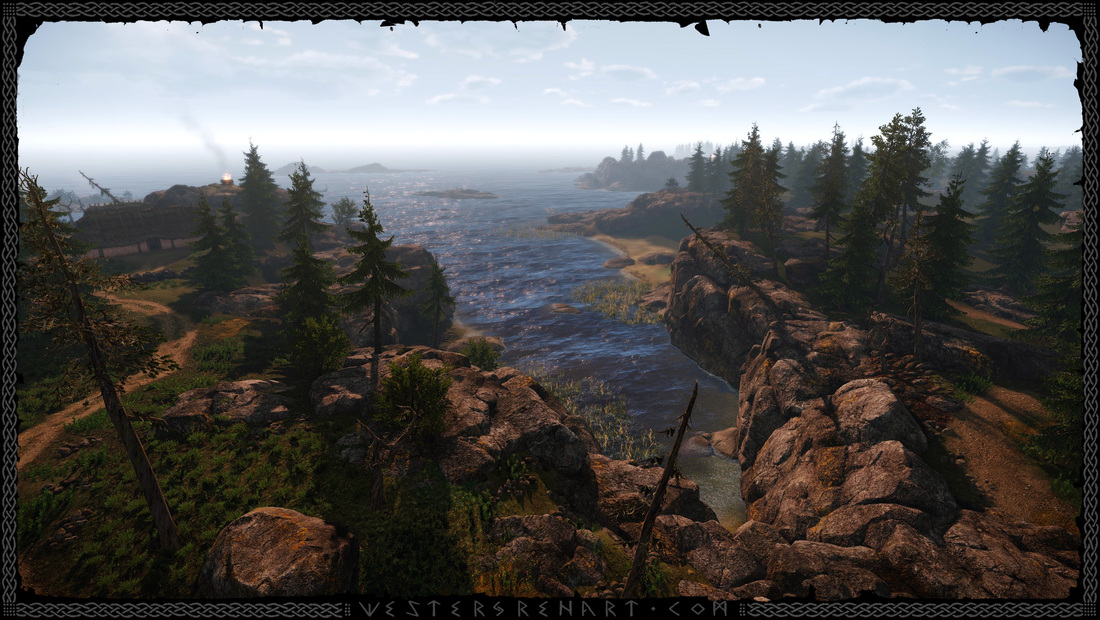
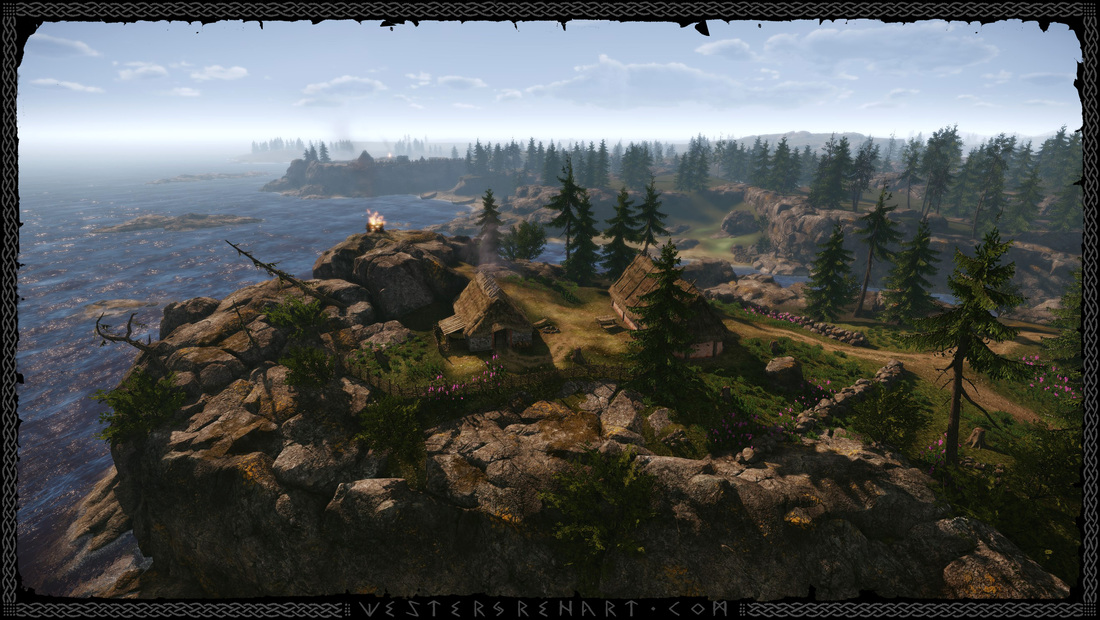
I'm impressed with how CryEngine renders an entire fort filled with individual assets as well as the surrounding forests and some 6 km viewing distance beyond at 25-30 fps… And that's on a pretty slow PC. I haven't even done any optimization work yet.
Eventually there should be more islands and variation and the flora should be a bit more subdued with trees twisted by the elements.
Well, that's it for now. As usual, these images are WIP. Pretty much everything needs polishing and there's a lot more work to get the right feel of these places. Keep a lookout for more updates..
Hope you like and thanks for stopping by!
Feel free to drop me a line if you have any questions or comments.
 RSS Feed